Albert Children’s Wildlife Area
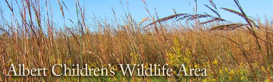
This 78-acre area lies along Cedar Creek northeast of Columbia. The site originally consisted entirely of coal strip mines but much of the land was reclaimed during the 1990s by the Missouri Department of Natural Resources. Areas were regraded, limed, fertilized and seeded with native grasses and trees. The result is a mixed landscape of prairie and wetlands that attracts species of wildlife that require open habitats. Other habitats include riparian forest along Cedar Creek, and several ponds.
Nature Inventories
Sightings
Submit/View sightings through eBird
Restrictions
Access to the Albert Area requires permission for crossing private property. Therefore, visits to this area are restricted to field trips or workdays approved by the CAS board of Directors.
Contacts
John Besser, CAS Nature Areas Committee.